zombies are real mod · ZIPCODE GENERATOR · EDITOR · CO-OP · WORKSHOP

Steam Workshop Mods, Real-World Zipcode Maps & Co-op

Five-step operational pipeline for generating any real-world neighborhood via postal code or city search, editing custom Safe Zone scenarios, coordinating 2-player online co-op, and configuring Steam Workshop mutator parameters across OpenStreetMap and Overture Maps footprints.

7Sandbox & Geospatial Layers
1,027+Steam Workshop City Maps
45+Gameplay Mutator Mods
2-PlayerOnline Co-op Command
5-StepZipcode-to-Workshop Pipeline

Five-Step Zipcode-to-Workshop Operational Pipeline

STEP 01 // GEONAMES LOOKUP

Enter a Real-World Zipcode, Postal Code, or City Coordinate

Open the Sandbox or Map Generator and query any US zipcode, international postal code, or city neighborhood. The GeoNames Gazetteer resolves your query into a precise bounding box.

TECH NOTE: Preserves natural coastal, river, and canal choke points while translating real building polygons into playable defense slots.
STEP 02 // OSM & OVERTURE FOOTPRINTS

Generate Streets & Building Polygons from OpenStreetMap + Overture Maps

OpenStreetMap supplies road networks, waterways, and destructible bridges, while Overture Maps Foundation, TomTom, Microsoft, Esri, and Google Open Buildings supply individual building footprints.

TECH NOTE: Physical building polygon area directly determines Garrison purchase cost ($) and Automated Turret range scaling.
STEP 03 // IN-GAME MAP EDITOR

Configure Outbreak Origins, Starting Budget ($) & Support Points (SP)

Use the built-in Level Editor to place zombie outbreak markers, designate dark-blue civic buildings (Broadcast, Police/Militia, Radio Tower, Hospital), and tune starting Planning Phase cash and Battle Phase SP.

TECH NOTE: Included in the base Early Access build (App ID 5185890) with direct one-click Steam Workshop publishing.
STEP 04 // SOLO OR 2-PLAYER CO-OP

Command the Sector Solo or Split Districts in 2-Player Online Co-op

Launch the generated city in solo play or invite a partner via Steam Online Co-op. Divide map sectors during the Planning Phase and synchronize Battle Phase Paratrooper drops and Bomber Airstrikes.

TECH NOTE: Two commanders can simultaneously manage separate bridge choke points and Safe Zone evacuations during multi-vector outbreaks.
STEP 05 // STEAM WORKSHOP & MUTATORS

Publish Scenarios or Subscribe to 1,027+ Maps & 45+ Mutator Mods

Share your custom city scenario on the Steam Workshop Hub or load community mutator mods (referenced by Workshop Guide ID 3839670265) to customize weapon ranges, reload cadences, blast radii, and ammo limits.

TECH NOTE: Declarative mutator keys override vanilla unit parameters such as Garrison 262.5m range, Sniper 400.0m range, and Mortar 600.0m arc.

Official Geospatial Data & Map Attribution Ledger

OpenStreetMap Contributors (ODbL)

Road vectors, street intersections, waterways, and destructible bridge geometry.

Overture Maps Foundation & TomTom

Global building footprint polygons and urban block structure.

Microsoft, Esri Community Maps & Google Open Buildings

Supplemental building footprint geometry for residential and commercial structures.

GeoNames Gazetteer

Global city, neighborhood, and postal/zipcode coordinate resolution.

Complete Workshop & Zipcode Sandbox Ledger

NameFeature / Data LayerProvider / System SourcePlayer CapabilityTechnical & Gameplay Notes
Map Generation1
Map GenerationIn-Game Sandbox & Map GeneratorEnter real-world zipcodes or coordinates to generate playable city scenarios with authentic street grids, rivers, bridges, and building footprints.Translates real building footprints into garrisonable structures and dark-blue civic buildings while preserving natural water choke points.
Geospatial Data Source3
Geospatial Data SourceOpenStreetMap Contributors (ODbL)Supplies street vectors, intersections, waterways, and destructible bridges used by civilian routing and zombie pathfinding.Officially credited in the Steam legal notice; determines where Corridors, Security Buses, Bulldozers, and bridge demolitions operate.
Geospatial Data SourceOverture Maps Foundation, TomTom, Microsoft, Esri Community Maps & Google Open BuildingsProvides individual building polygons whose physical footprint sizes determine Garrison purchase cost and Turret range scaling.Small residential footprints cost far less to garrison than massive commercial footprints, directly shaping high-rank budget strategy.
Geospatial Data SourceGeoNames GazetteerResolves city names, neighborhoods, and postal codes into bounding coordinates for custom scenario generation.Credited alongside OpenStreetMap and Overture Maps in the official copyright notice.
Creation Tool1
Creation ToolBuilt-in Level EditorAuthor custom outbreak scenarios, adjust starting budgets and Support Points, and publish directly to Steam Workshop.Included at Early Access launch with full Steam Workshop upload and subscription support.
Workshop Ecosystem1
Workshop EcosystemSteam Workshop (App ID 5185890)Browse and subscribe to over 1,027 community-created city maps and 45+ gameplay mutator mods.Mutator mods can override unit range, cooldown, magazine, blast radius, and starting money tables via declarative parameter keys.
Multiplayer Mode1
Multiplayer ModeSteam Online Co-opCoordinate Planning Phase Safe Zone construction and Battle Phase Support Point strikes with a partner in 2-player online co-op.Allows two commanders to split map sectors during chaotic multi-spawn outbreaks.

Real-World Zipcode Generation & Tactical Grid Captures

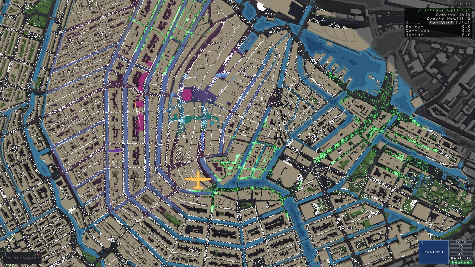
Custom real-world neighborhood map generated from OpenStreetMap and Overture building footprints
Real-World Zipcode Map Generation & Sandbox Editor ScreenshotReal-world street topology and building footprints rendered in the Zombies Aren't Real sandbox and Workshop map generator.
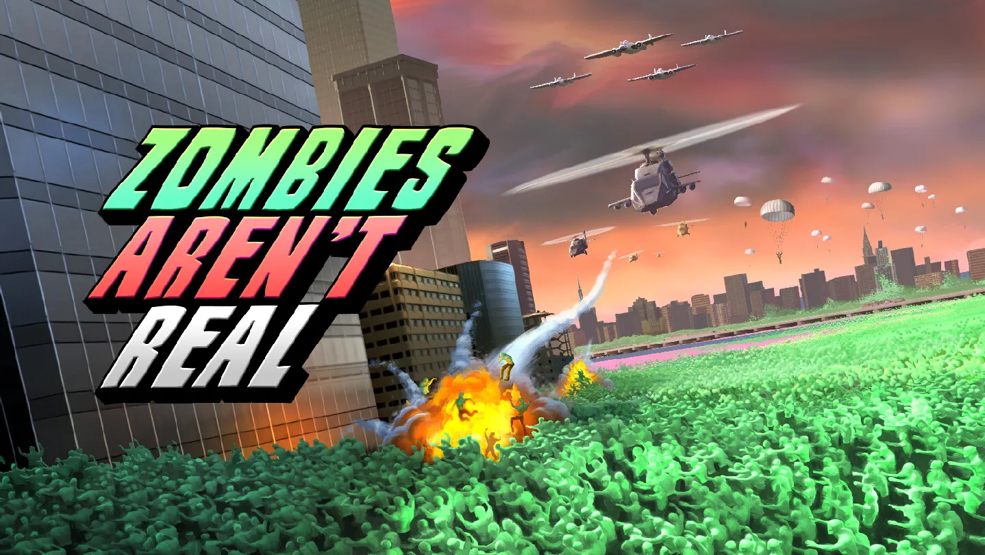
Official Steam store background graphic showing tactical map grid lines
Zombies Aren't Real Official Store Background CanvasOfficial Steam store background artwork for Zombies Aren't Real.